Solutions
Put your lidar to work.
Understand how Stratify solutions can support your industry.
Explore industriesWhere do you need more visibility?
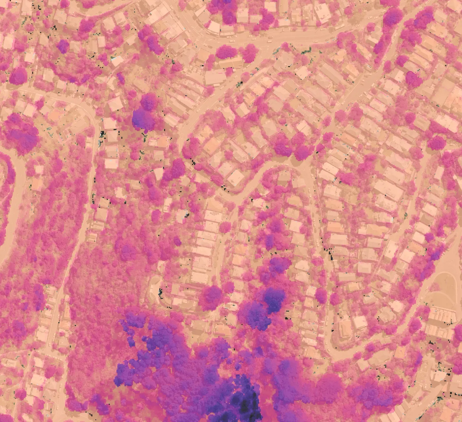
You might need to check vegetation after maintenance, identify changes across a site, or document progress over several years.
Stratify supports these tasks with repeatable measurements and comparisons, helping you identify where to look closer, assess results against your criteria, and retain evidence for your next review.
Vegetation Monitoring
Measure vegetation and follow how it changes.
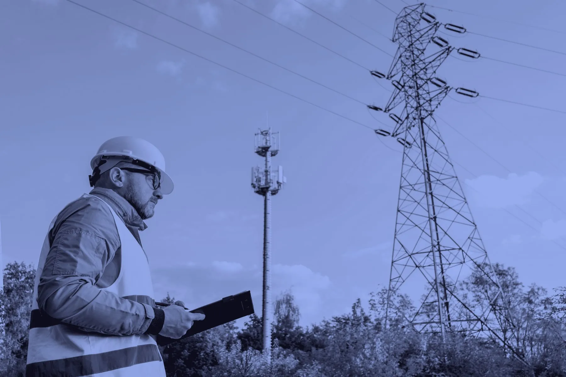
Vegetation audit
Audit observed trimming outcomes across corridors using consistent measurements and evidence.
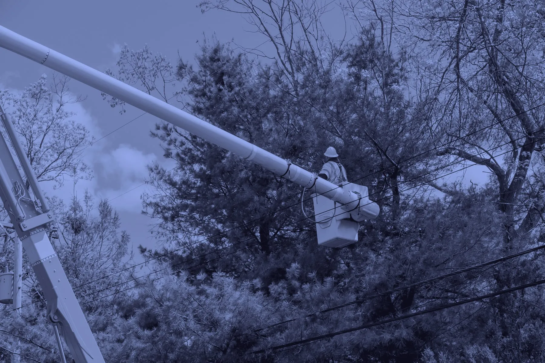
Vegetation management
Find unusual growth, loss, dieback, and other outliers across large areas.
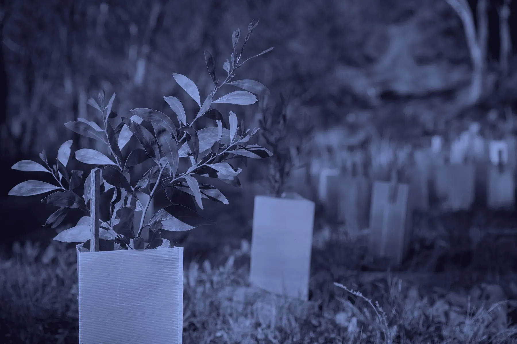
Rehabilitation & restoration
Follow revegetation and restoration outcomes using repeatable measures through time.
Ground Monitoring
Measure terrain and where ground levels change.
Ground change around assets
Measure where terrain has risen or fallen around supplied pole and asset locations.
Operational site change
Compare terrain conditions across active sites and retain a dated record of change.
Erosion & surface loss
Locate and measure areas where surface levels have dropped between surveys.
For survey, engineering and spatial firms
Add monitoring to the work you already deliver.
Client programme scoping
Use live results to define the areas, assets, thresholds, and outputs for your clients.
Expand product portfolio
Extend your product ecosystem with a client-ready monitoring and review platform.

Monitoring & compliance services
Use traceable monitoring measurements as inputs to engineering, spatial, or advisory work.