Solutions
Erosion & surface loss
Locate and measure areas where surface levels have dropped between surveys.
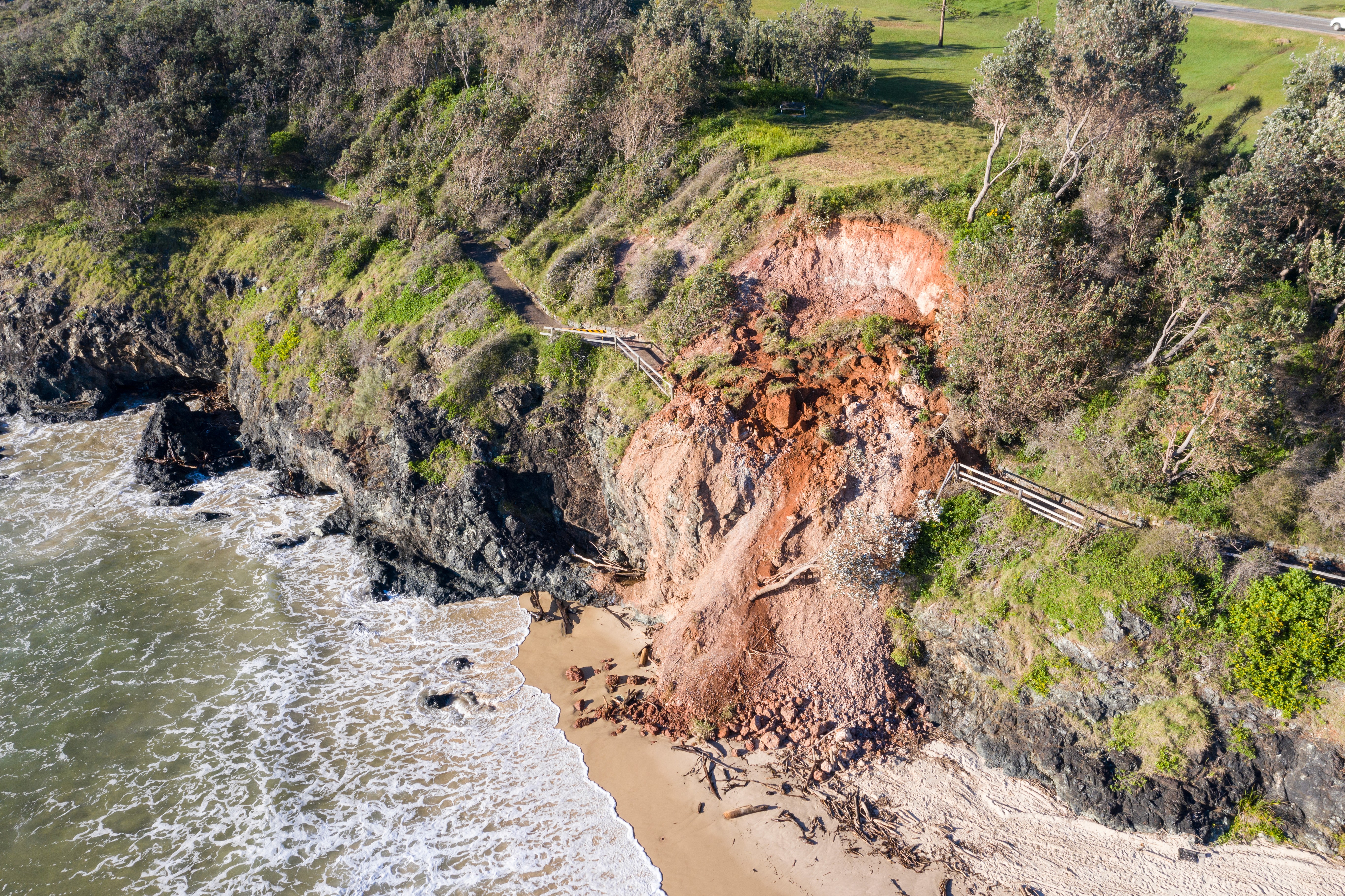
Compare compatible terrain observations to show where surface levels have fallen and by how much. You can review the pattern across a site, corridor, catchment, or around supplied assets, then use defined thresholds to focus attention. The monitoring record preserves the comparison coverage and evidence needed for follow-up analysis.
Industries
Where this solution can help.


Copyright © 2026 Stratify Geospatial Pty Ltd