Industries

Oil & gas

Monitor vegetation and terrain change across pipeline corridors and operational sites.

Pipeline corridors and asset sites extend across large, changing environments where routine inspection is difficult. Stratify turns your repeat lidar into a dated record of vegetation and terrain conditions along rights-of-way, around supplied asset locations, and across operational sites.

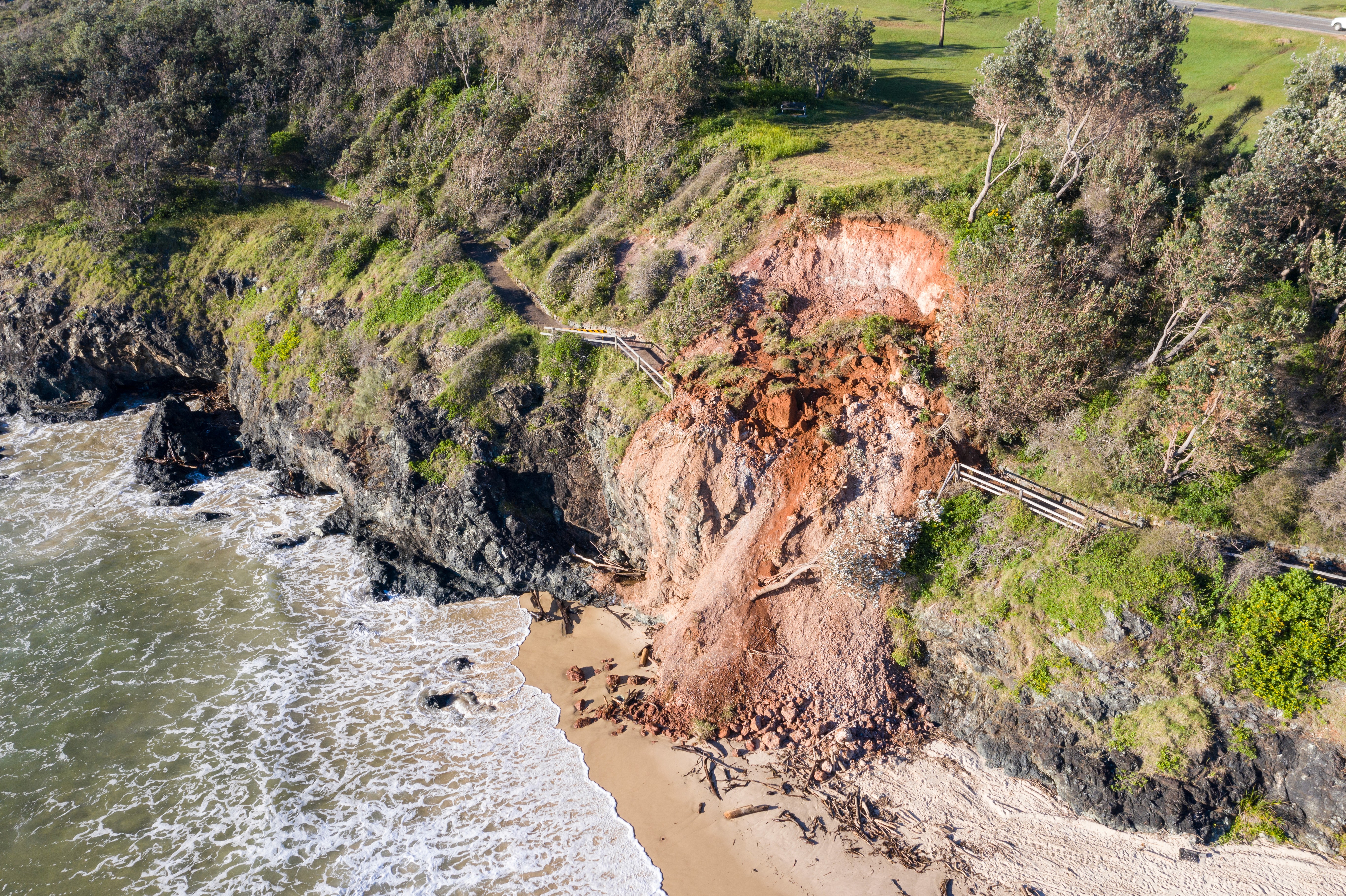
You can focus review on vegetation change, erosion, and unexpected terrain change using defined thresholds, while retaining an evidence record for integrity, compliance, and maintenance workflows.

Solutions

Put your lidar to work.

Vegetation audit

Audit observed trimming outcomes across corridors using consistent measurements and evidence.

Vegetation audit

Audit observed trimming outcomes across corridors using consistent measurements and evidence.

Vegetation audit

Audit observed trimming outcomes across corridors using consistent measurements and evidence.

Vegetation management

Find unusual growth, loss, dieback, and other outliers across large areas.

Vegetation management

Find unusual growth, loss, dieback, and other outliers across large areas.

Vegetation management

Find unusual growth, loss, dieback, and other outliers across large areas.

Ground change around assets

Measure where terrain has risen or fallen around supplied pole and asset locations.

Ground change around assets

Measure where terrain has risen or fallen around supplied pole and asset locations.

Ground change around assets

Measure where terrain has risen or fallen around supplied pole and asset locations.

Erosion & surface loss

Locate and measure areas where surface levels have dropped between surveys.

Erosion & surface loss

Locate and measure areas where surface levels have dropped between surveys.

Erosion & surface loss

Locate and measure areas where surface levels have dropped between surveys.

Operational site change

Compare terrain conditions across active sites and retain a dated record of change.

Operational site change

Compare terrain conditions across active sites and retain a dated record of change.

Operational site change

Compare terrain conditions across active sites and retain a dated record of change.

Copyright © 2026 Stratify Geospatial Pty Ltd