Industries
Mining & resources
Compare changing sites through time and retain evidence from every survey.

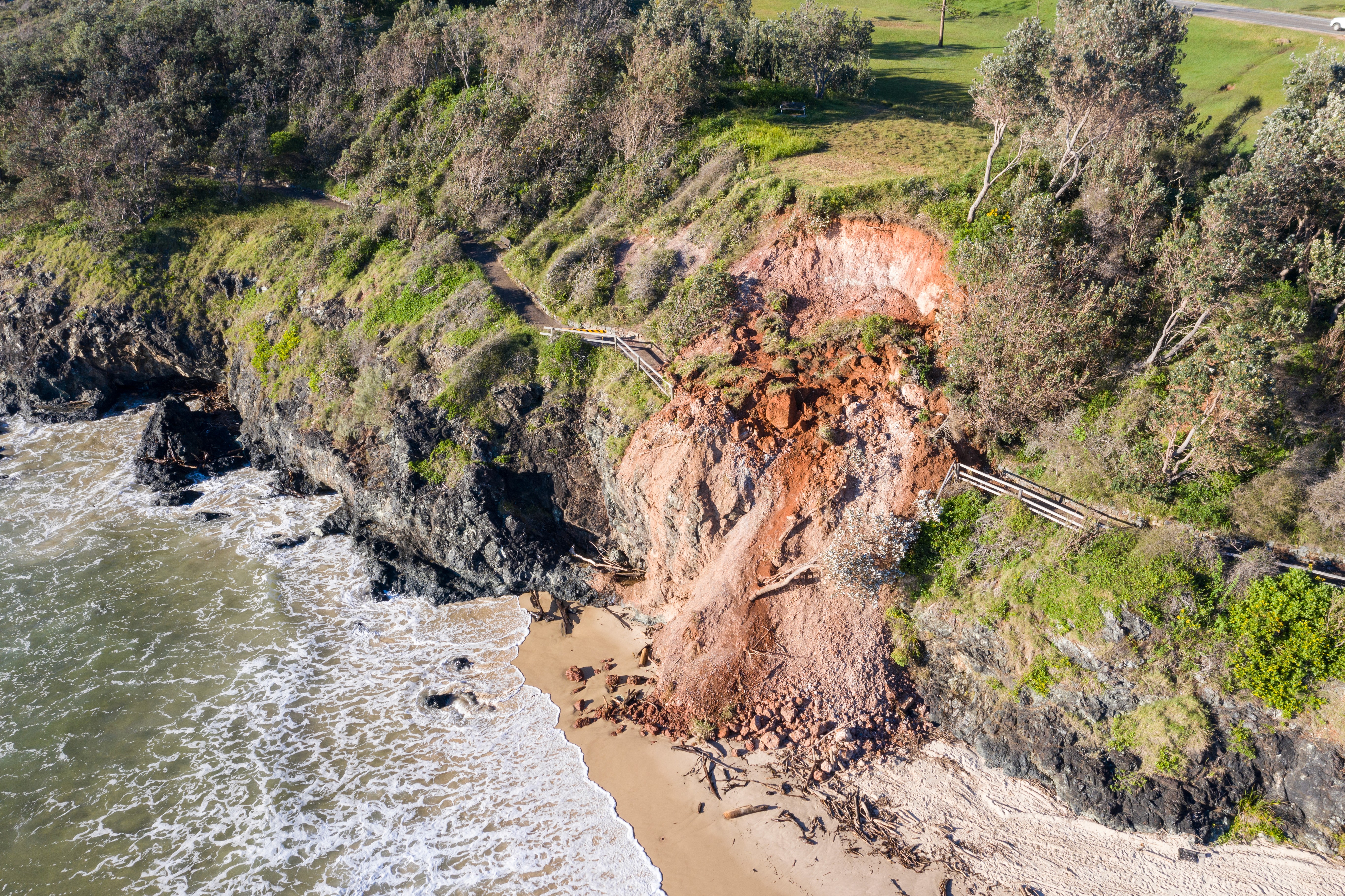
Your active resource sites can change substantially between surveys. Stratify creates consistent vegetation and terrain measurements for each observation, then compares compatible dates to show where conditions changed and by how much. You can review ground change around supplied assets, follow rehabilitation outcomes, and retain a dated, traceable record across the life of a site.
Solutions
Put your lidar to work.



Copyright © 2026 Stratify Geospatial Pty Ltd