Products
Ground Monitoring.
Measure changes in ground level across sites and around assets, with a dated record to support review and follow-up.

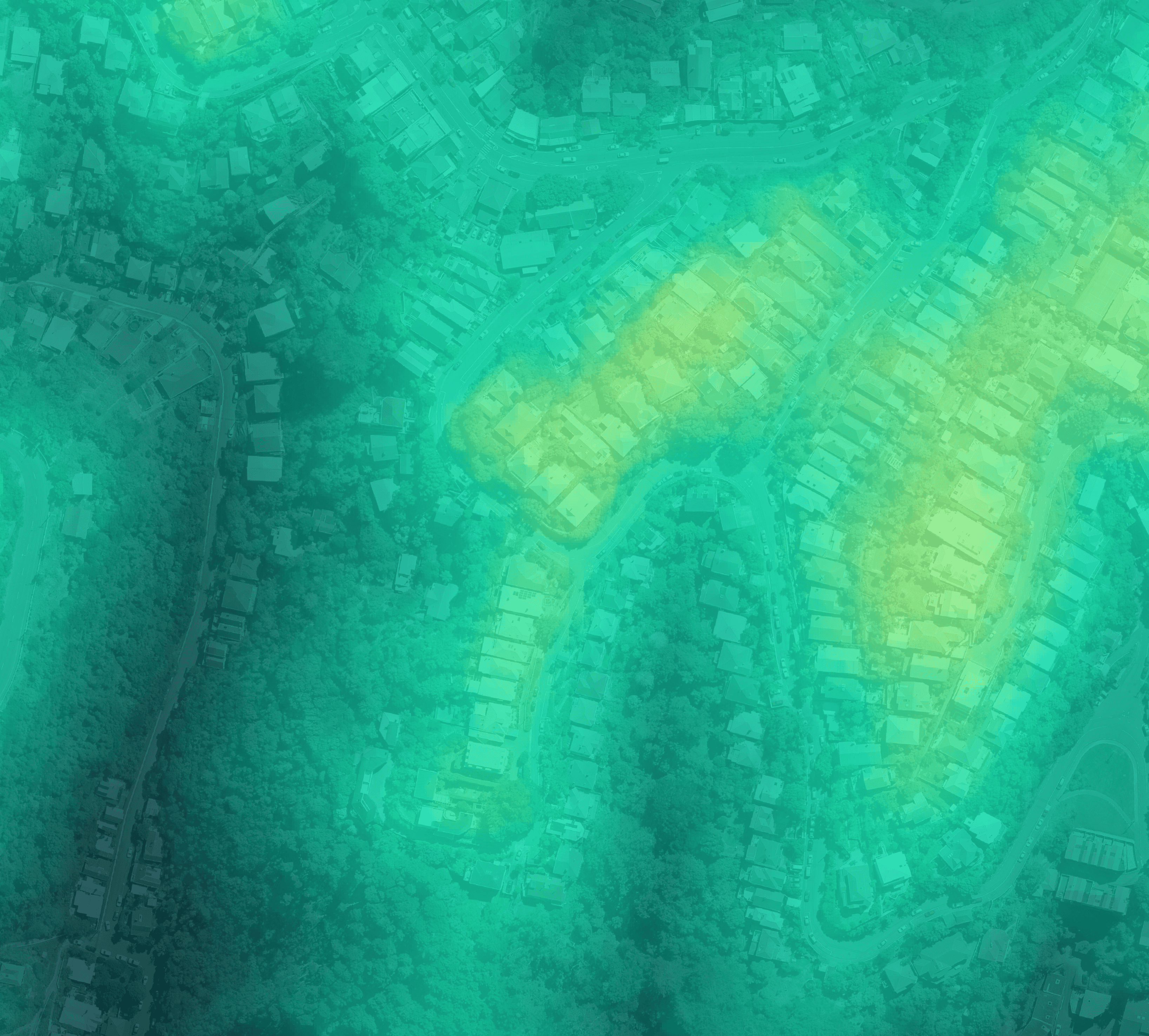
Focus on movement that warrants attention.
Ground differences are evaluated with coverage, alignment, and measurement uncertainty in view, helping separate credible change from noise or incomplete data. Each result remains traceable to its source captures and thresholds for defensible review and follow-up.
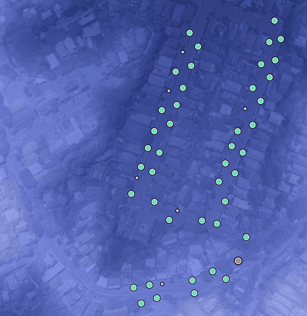
What it measures
Ground conditions change across operational sites and infrastructure corridors. Ground Monitoring creates a dated terrain record from your lidar, measuring elevation, slope, and aspect for each survey.
Comparisons between compatible surveys reveal where ground levels have risen or fallen and by how much.

What you can review
Review changes across a whole site or around supplied pole and asset locations. Programme-defined reporting thresholds help identify areas for closer inspection, supporting erosion review, operational site monitoring, and investigations into unexpected terrain change.
The measurements describe observed change; your specialists determine its cause and significance.

Your monitoring record
Each observation and comparison includes coverage and validity information, so your team can understand where the results can be used confidently.
Measurements remain connected to source dates, processing details, and the conditions used to flag areas for review. Start with available archive surveys or add new captures as they arrive.
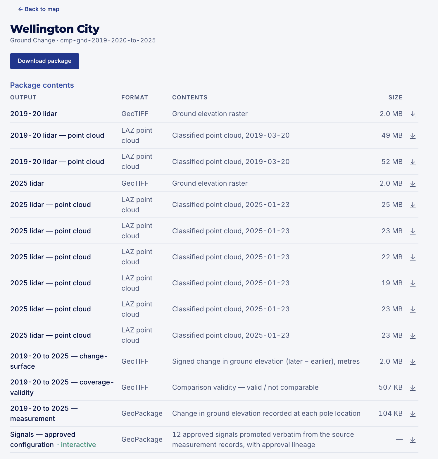
Use it your way
Receive the monitoring record in standard formats for your existing tools, with optional Stratify Platform access to compare dates, inspect measurements, and refine the scope of further review.
Copyright © 2026 Stratify Geospatial Pty Ltd