Products
Vegetation Monitoring.
Measure vegetation extent, height, structure, and density, then compare surveys to understand what changed, where, and by how much.


A monitoring record that becomes more valuable over time.
Each observation follows a consistent product specification, with documented inputs, quality checks, and lineage. As new captures arrive, they extend the same record - making results easier to verify and use across GIS, reporting, and operational review.
What it measures
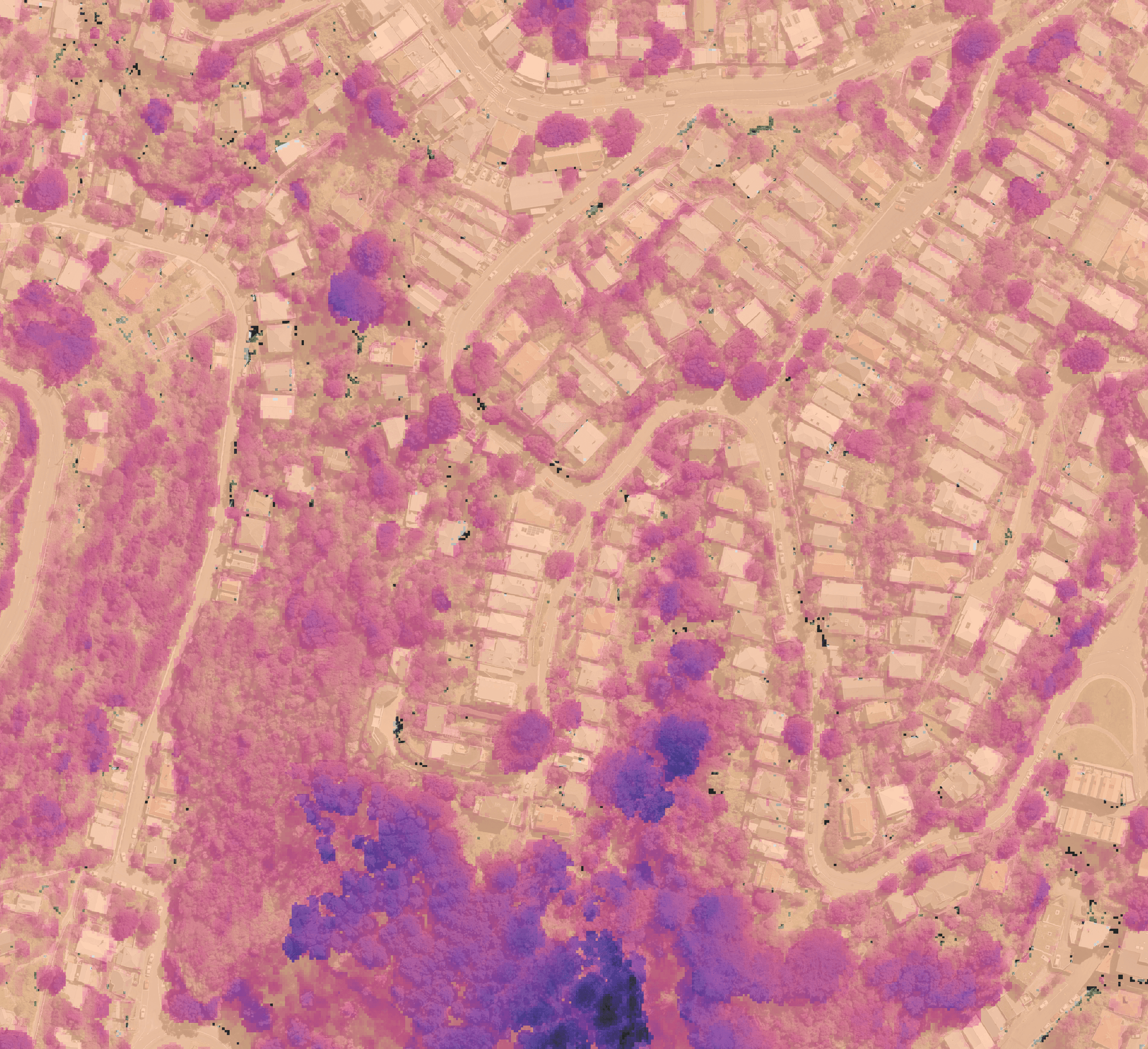
Your lidar surveys hold a record of how vegetation changes across sites, corridors, and managed land. Vegetation Monitoring turns classified lidar into consistent measurements of extent, height, structure, and density.
One survey establishes a baseline; compatible surveys from your archive or future captures show how those conditions change over time.

What you can review
Use that record to review trimming outcomes, identify unusual growth or loss, and follow rehabilitation or restoration.
Reporting thresholds defined for your programme help focus attention on the areas that need a closer look, with the underlying measurements available to inspect.

Your monitoring record
Stratify prepares and checks the data, runs the comparisons, and packages the results through a repeatable processing workflow.
Each delivery connects the measurements and areas flagged for review to their source dates, comparison coverage, quality information, and processing record.

Use it your way
Receive an exportable monitoring record for your existing spatial, environmental, or asset-management tools.
Add the Stratify Platform when you want to explore survey dates, adjust thresholds, and review the results interactively.
Copyright © 2026 Stratify Geospatial Pty Ltd