Solutions
Erosion & surface loss
Locate and measure areas where surface levels have dropped between surveys.
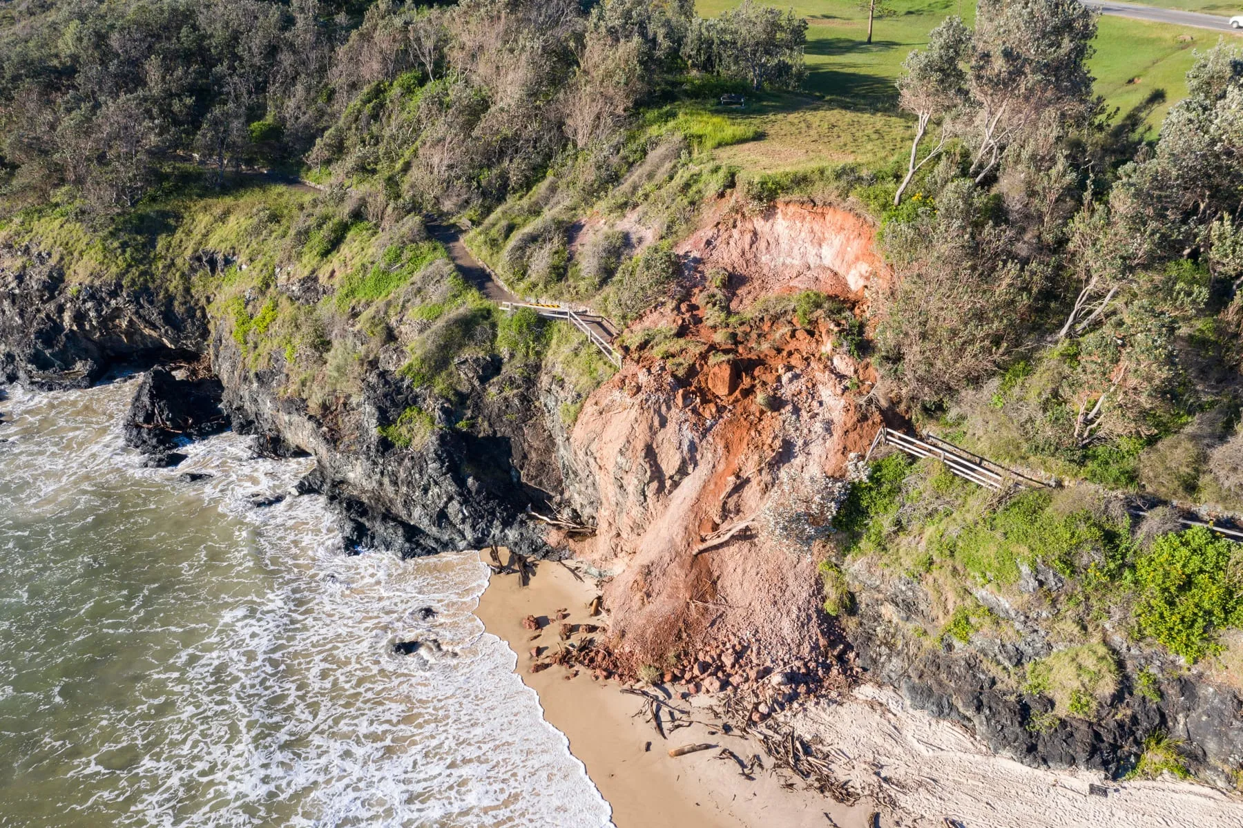
Compare compatible terrain observations to show where surface levels have fallen and by how much. You can review the pattern across a site, corridor, catchment, or around supplied assets, then use defined thresholds to focus attention. The monitoring record preserves the comparison coverage and evidence needed for follow-up analysis.
Built on
Power utilities
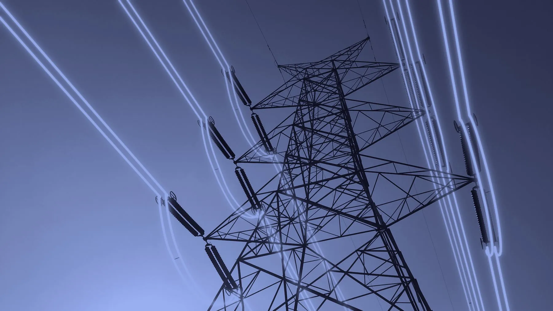
Monitor vegetation and terrain change across networks and around critical assets.
Land & environment
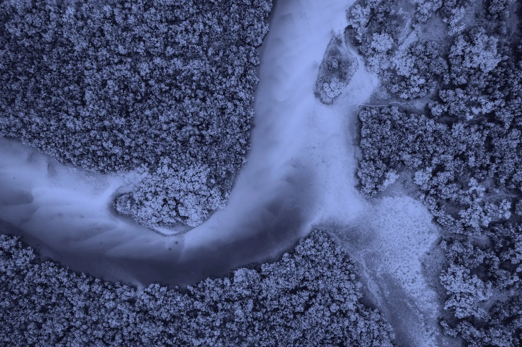
Measure vegetation and terrain change across managed land and environmental programmes.
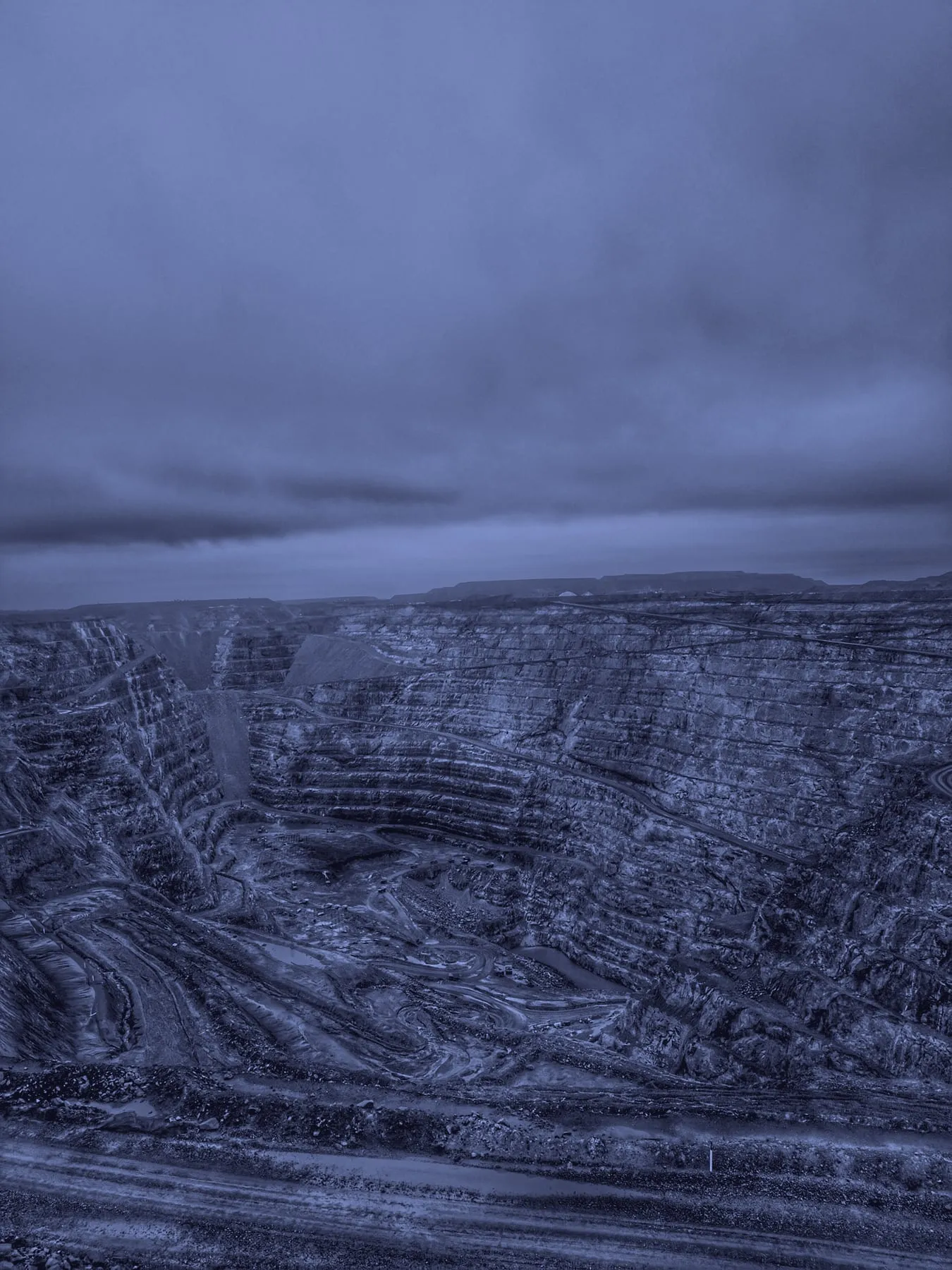
Mining & resources
Compare changing sites through time and retain evidence from every survey.
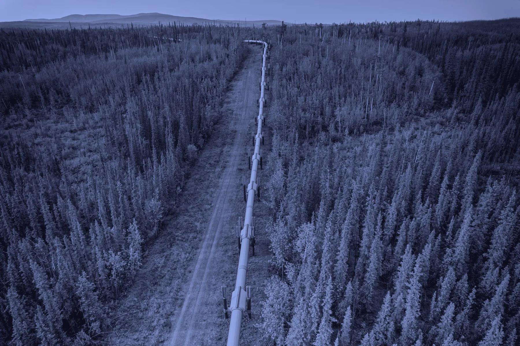
Oil & gas
Monitor vegetation and terrain change across pipeline corridors and operational sites.
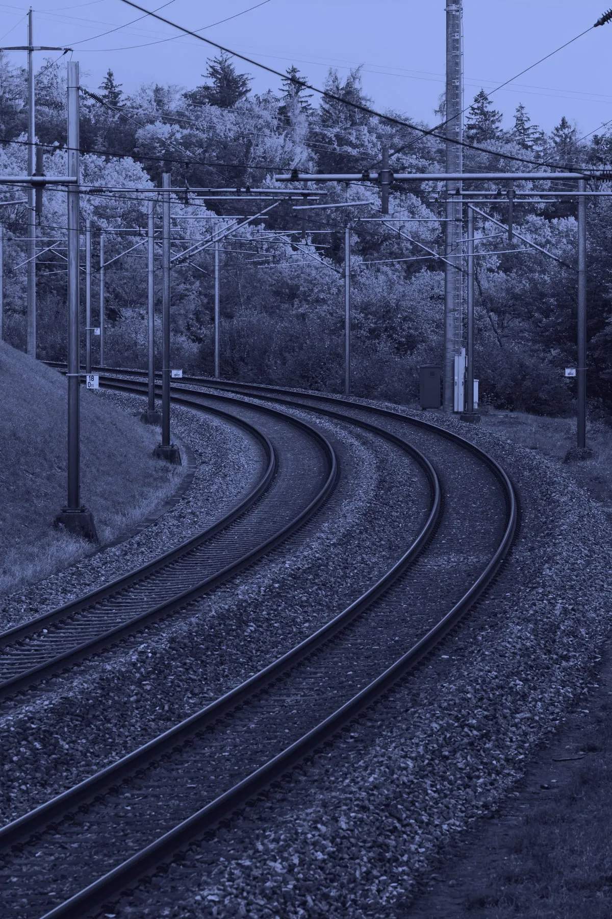
Transport & infrastructure
Track vegetation and ground change across corridors, networks, and operational sites.