Products
Measure the landscape. Track what changes.
Receive monitoring results in your existing tools, or add Stratify Delta to compare captures and review them.
From individual surveys to a lasting monitoring record.
Vegetation Monitoring and Ground Monitoring turn your lidar into consistent measurements of vegetation and terrain. Start with a single-survey baseline, compare compatible captures from your archive, and build on the record as new surveys arrive.
Define the measures and reporting thresholds that matter to your programme. Each delivery brings together the results, areas flagged for review, and supporting evidence, so your team can understand what changed and where to look closer.
Stratify Delta adds browser-based review of the same record across time. Compare any two captures, inspect source lidar, set signal rules against the live results, and review the evidence. Delta is optional; your monitoring data remains available for use in your own systems.
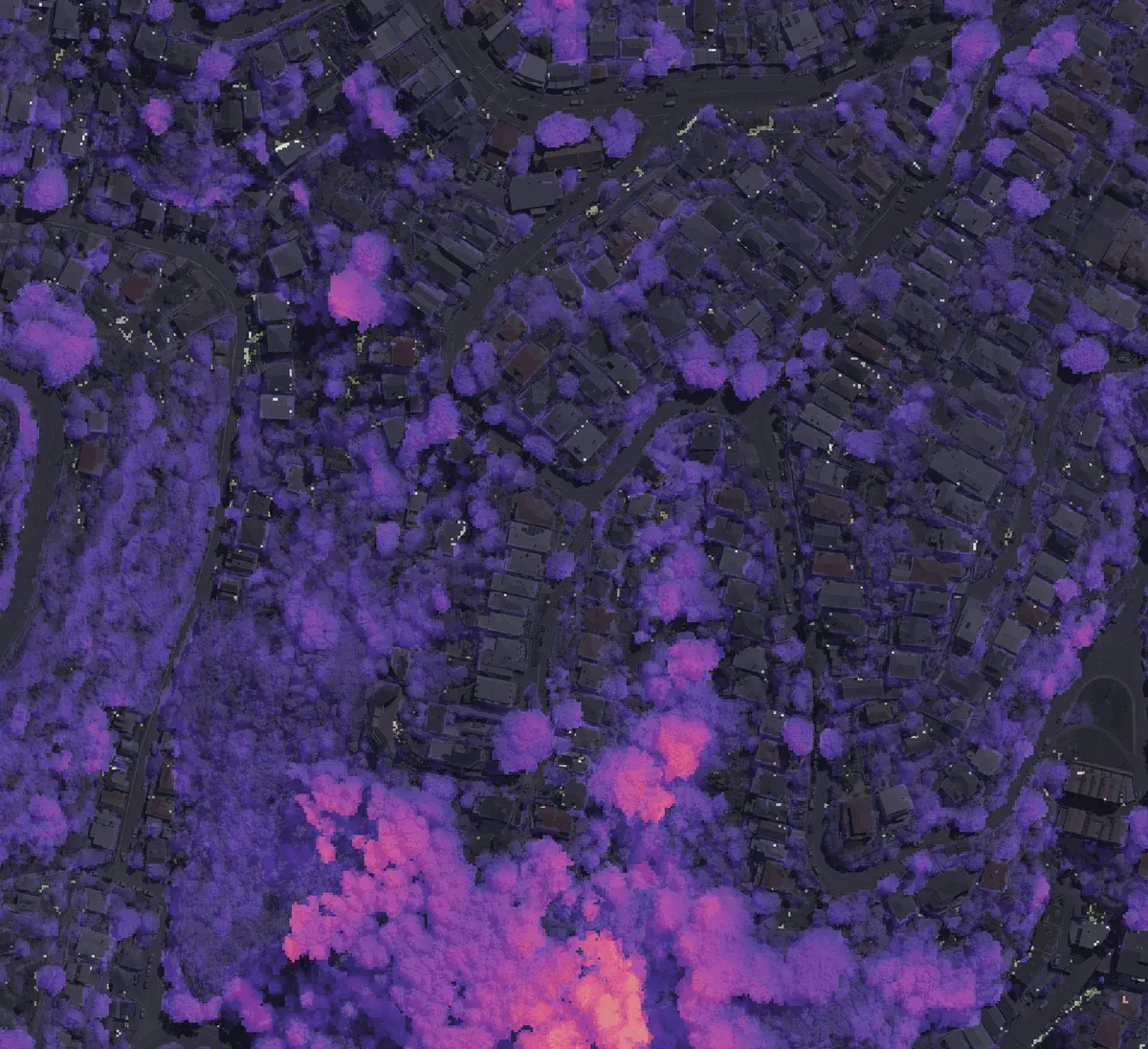
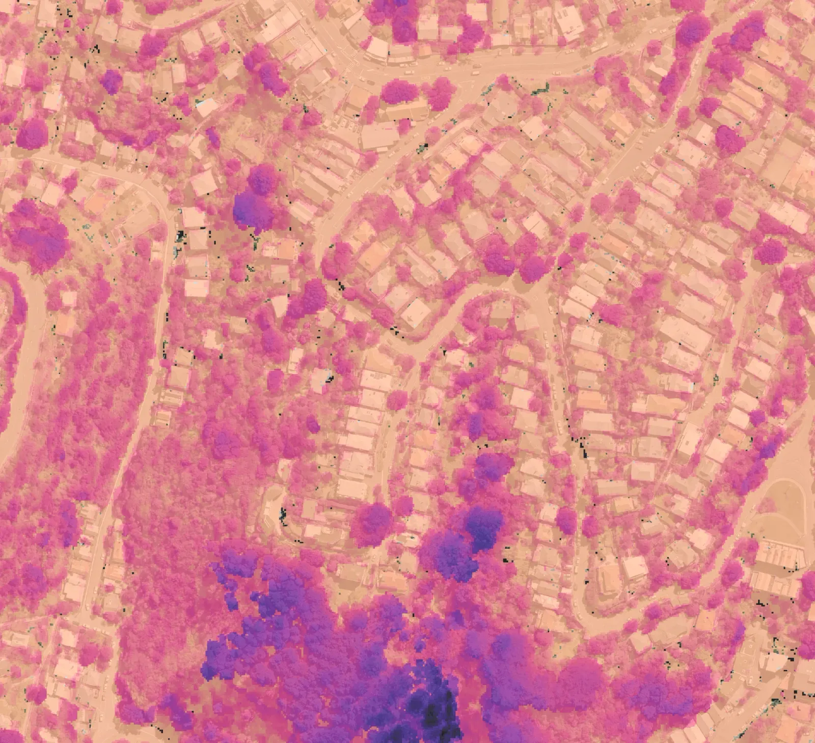
Vegetation Monitoring
Track vegetation growth, loss, and management outcomes with consistent measurements from your lidar surveys.
Data service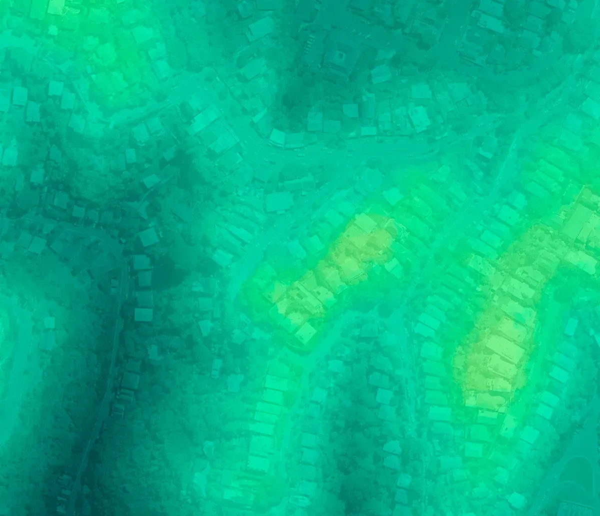
Ground Monitoring
Measure changes in ground level across sites and around assets, with a dated record to support review and follow-up.
Data service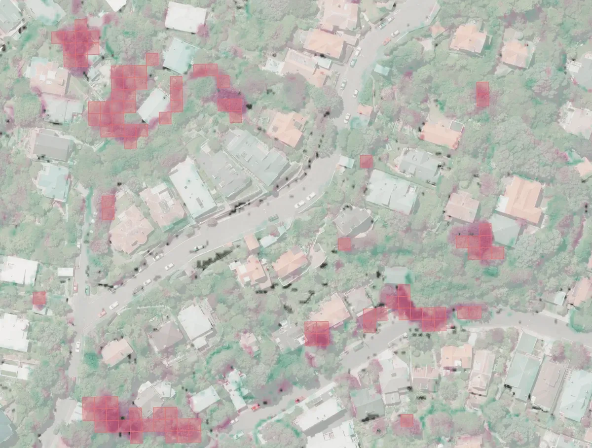
Stratify Delta
See how your sites change across every lidar capture. Compare any two, set signal rules, and review the evidence.
Web app