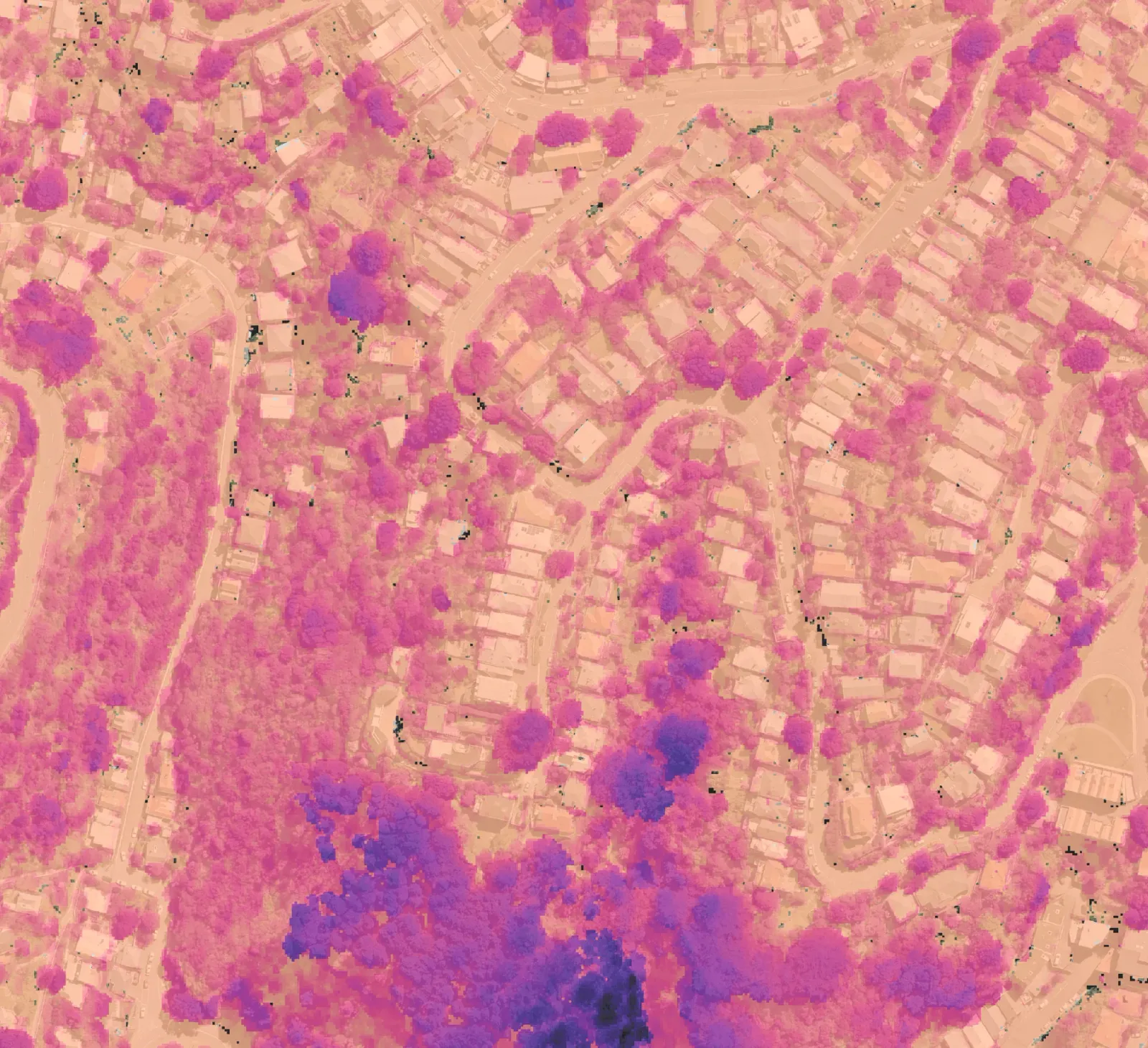
Industries
Spatial intelligence for the way you work.
From managing vegetation to tracking terrain change, see how monitoring applies to your industry.
Explore solutionsEvery industry has different reasons to monitor change.
You might be protecting infrastructure, managing land, or planning work across a changing site. Stratify turns lidar into consistent measurements you can compare through time, helping you focus attention, inform decisions, and keep a record of what changed.
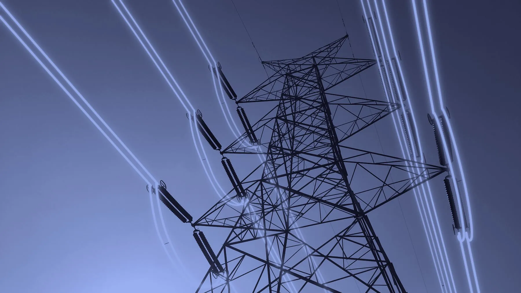
Power utilities
Monitor vegetation and terrain change across networks and around critical assets.
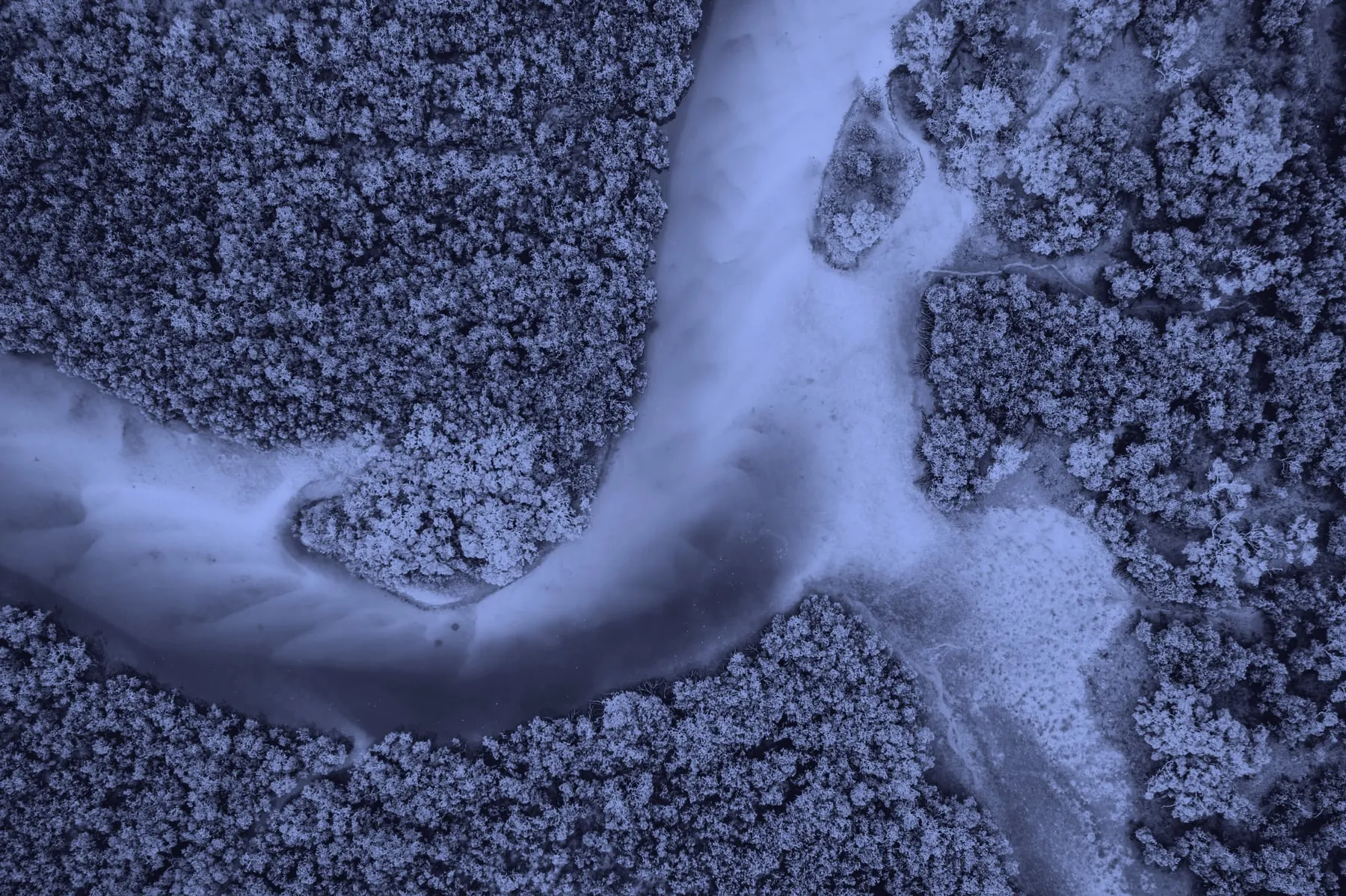
Land & environment
Measure vegetation and terrain change across managed land and environmental programmes.
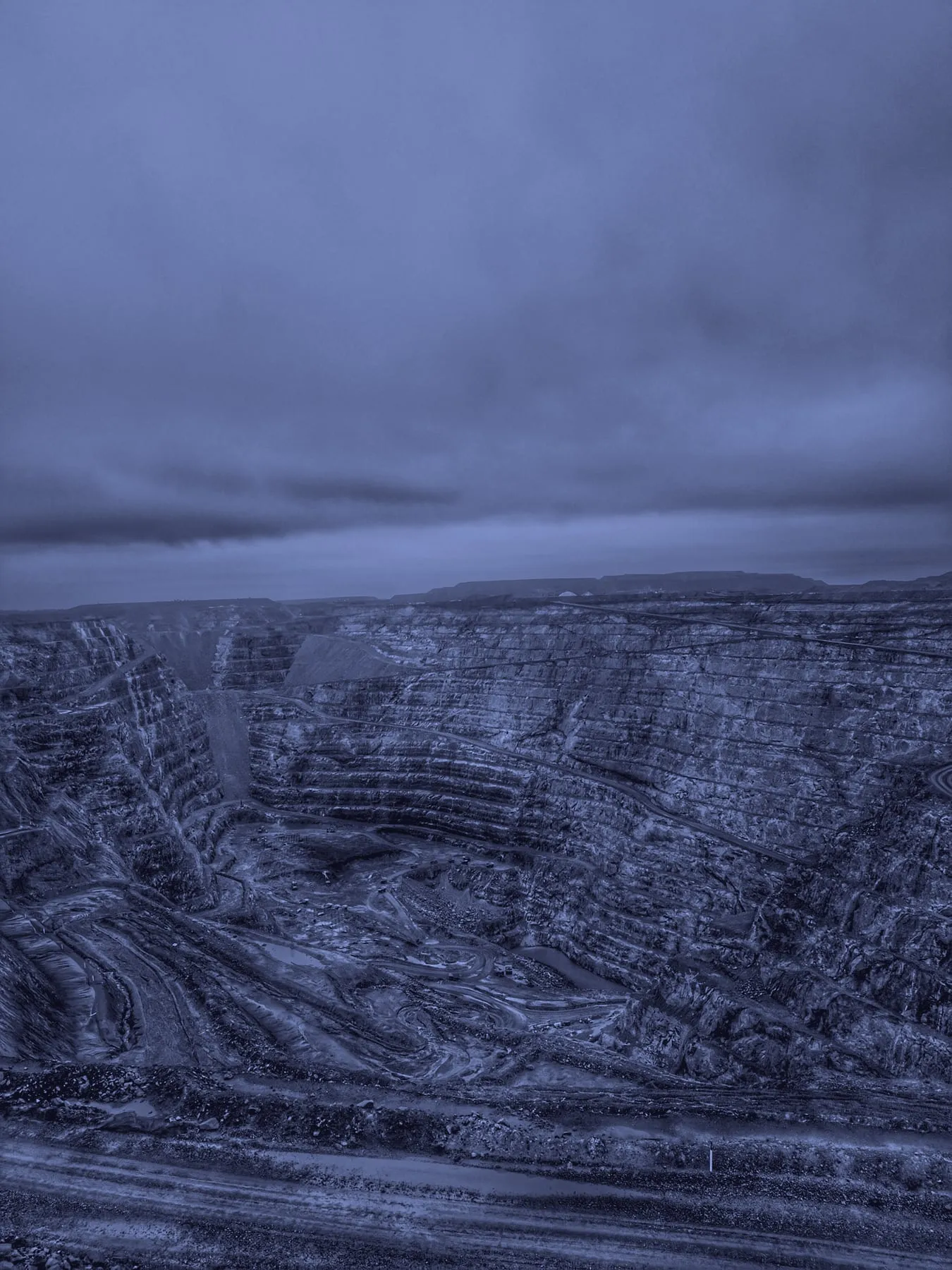
Mining & resources
Compare changing sites through time and retain evidence from every survey.
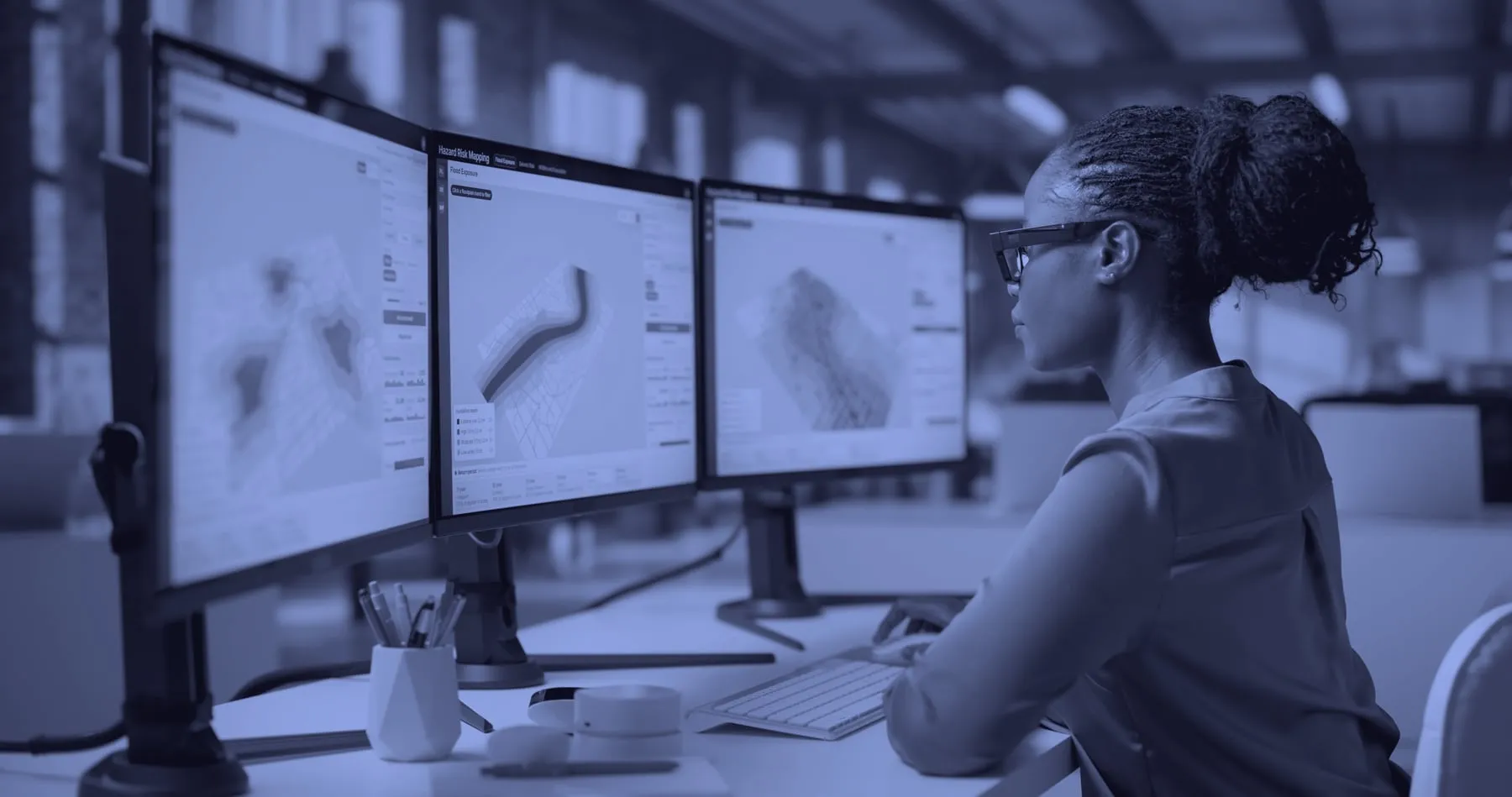
Geospatial & engineering
Add repeatable lidar monitoring to existing survey, engineering, and advisory services.
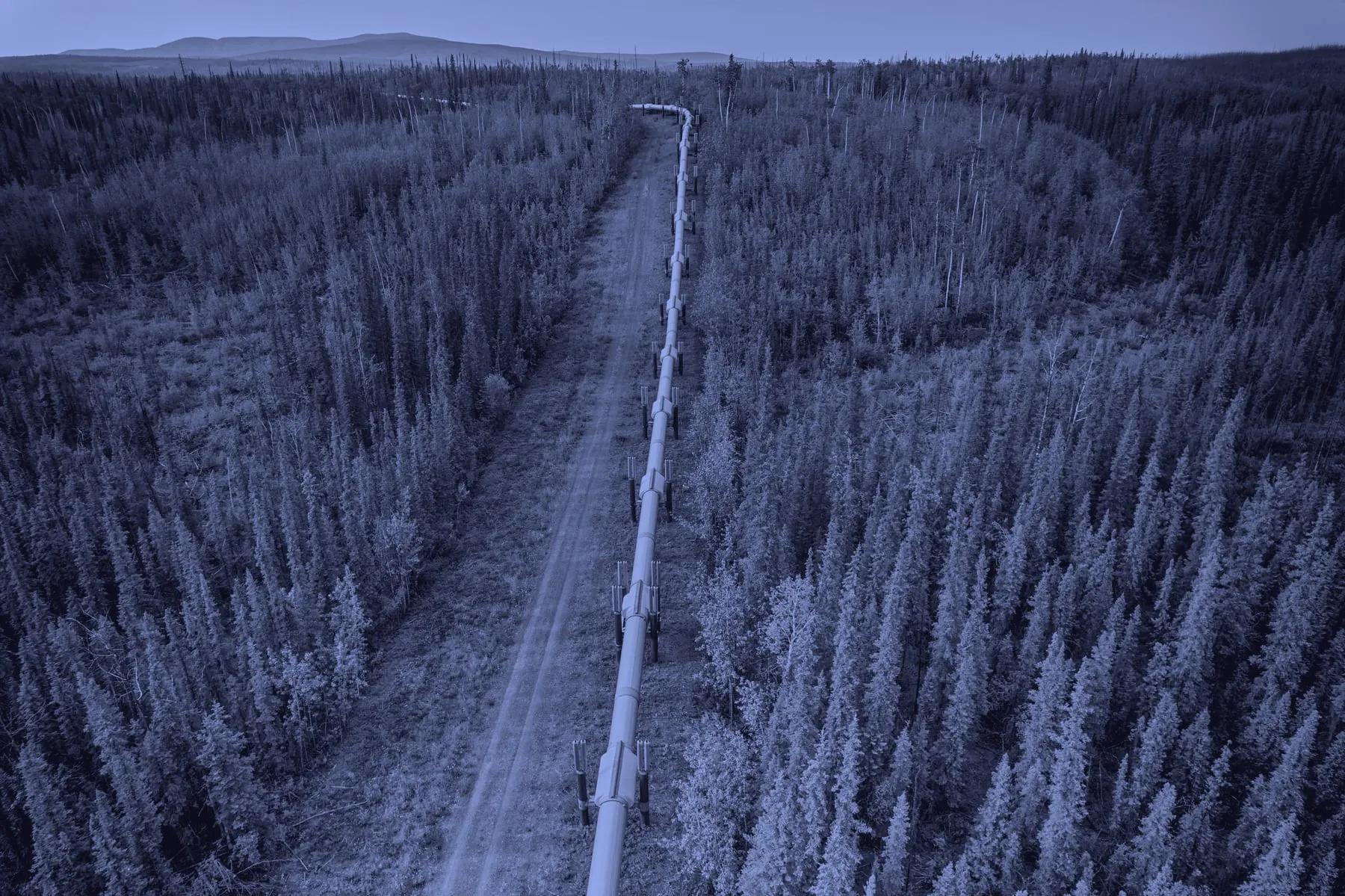
Oil & gas
Monitor vegetation and terrain change across pipeline corridors and operational sites.
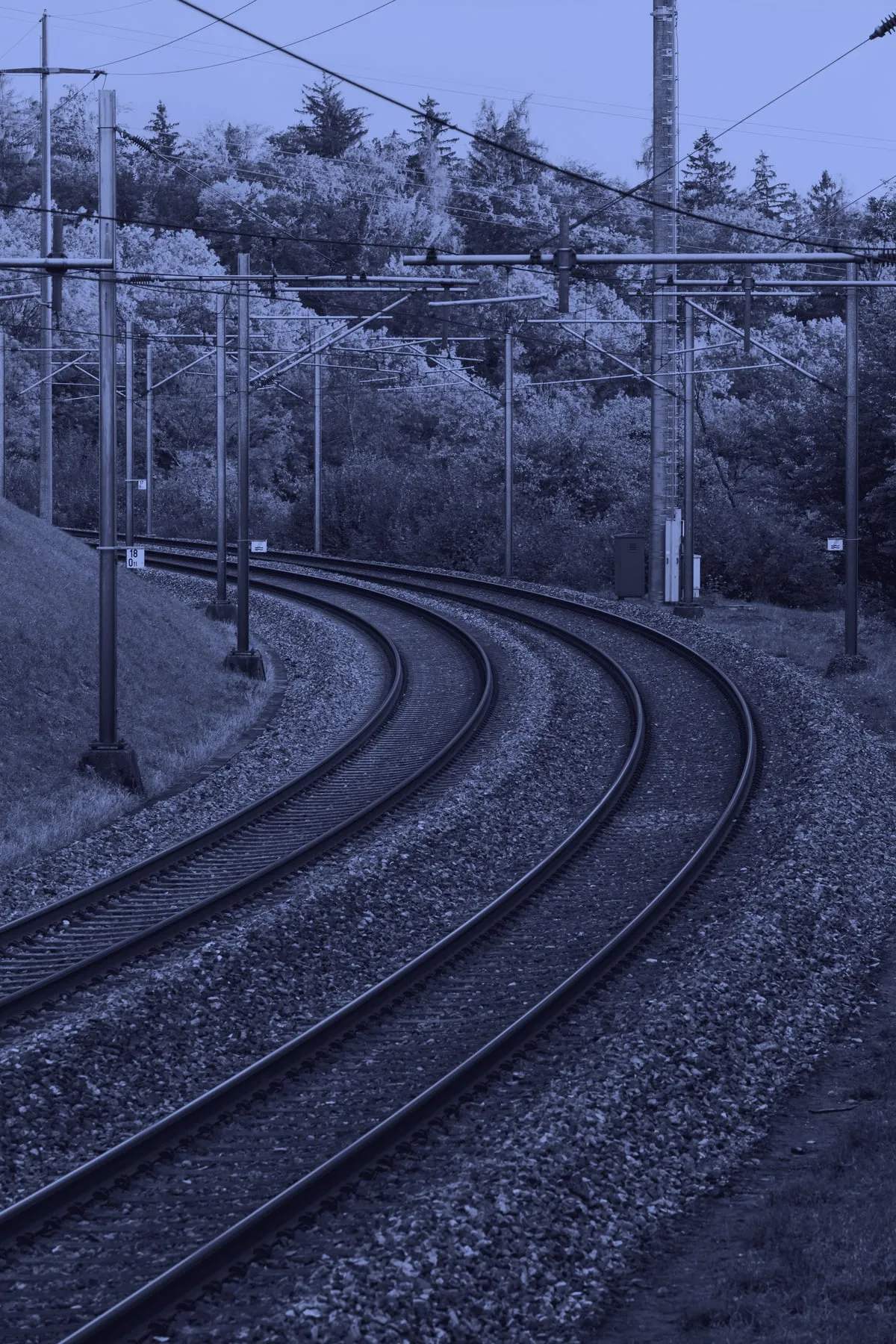
Transport & infrastructure
Track vegetation and ground change across corridors, networks, and operational sites.